Geobit to Exhibit at AGU25 in New Orleans

Geobit is pleased to announce its participation in the AGU Fall Meeting 2025 (AGU25), the largest global gathering of geophysics professionals, researchers, and industry leaders. This year’s event will take place from December 15 to December 19, 2025, at the New Orleans Ernest N. Morial Convention Center in New Orleans, Louisiana.
You will find us at Booth #1436, where we will showcase our latest advancements in seismic monitoring technologies, geophysical instrumentation, and the innovative solutions we have developed to support research institutions, universities, civil-protection agencies, and private-sector partners worldwide.

What to Expect from Geobit at AGU25
Visitors to our booth will have the opportunity to:
-
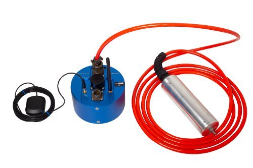
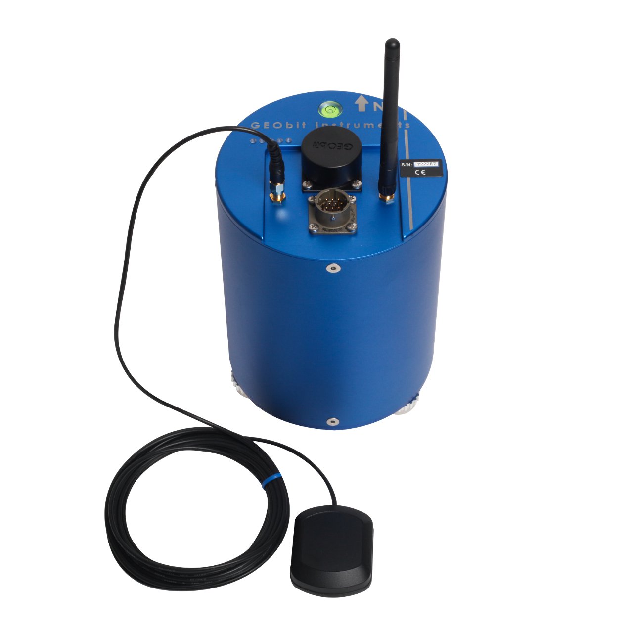
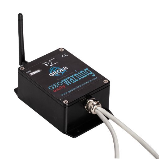
Explore our latest seismic stations, digitizers, and sensors
-
Learn about upcoming new product releses
-
Discuss custom solutions for geophysical monitoring projects
-
See real-world project examples and deployment case studies
-
Meet the Geobit team in person and talk about technical needs or potential collaborations
Our participation in AGU25 reflects our ongoing commitment to supporting the global geophysical community and contributing to the advancement of monitoring technologies.
Join Us in New Orleans
We warmly invite all AGU attendees, partners, and collaborators to visit us at Booth #1436. Whether you are interested in our current products, future developments, or simply wish to connect, we would be happy to meet you.
If you would like to schedule a meeting during the event, please feel free to contact us in advance.
We look forward to seeing you at AGU25!
More information about AGU Annual Meeting 2025 may be found here.