Geobit is exhibiting at HAGI-IAGI-IAFMI-IATMI Joint Convention 2019

GEObit is exhibiting at HAGI-IAGI-IAFMI-IATMI Joint Convention 2019 in Yogyakarta, Indonesia, 25 – 28 November, the biggest scientific geoscience event in Indonesia. GEObit staff will also give a 45 min presentation, including a 15 min Q&A session, entitled, “High-performance cost effective seismic instruments and monitoring solutions from GEObit-instruments”
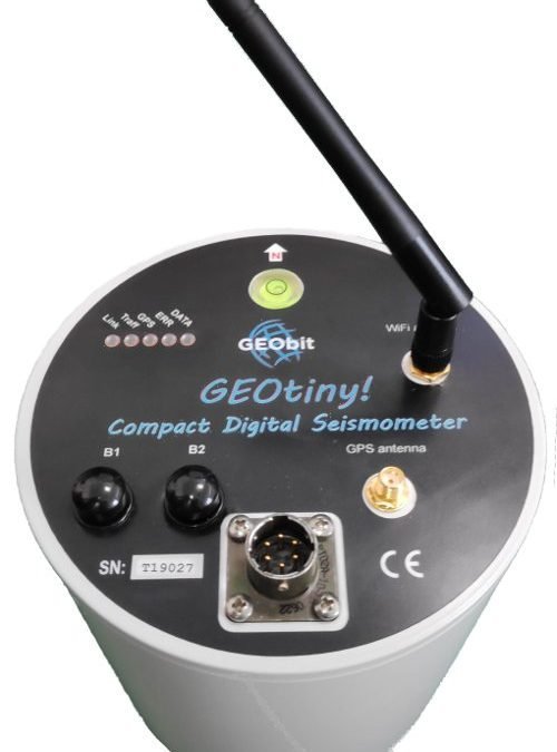
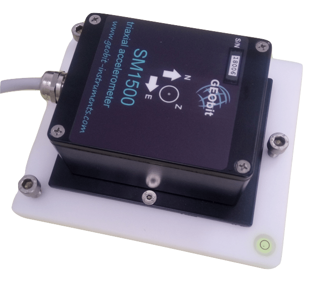
GEObit provides high sensitivity wide-band and near broad-band seismic sensors, surface or borehole type, and high dynamic range, low power 32bit ADC data loggers with local data storage and real-time telemetry over seedlink protocol. We are focusing on low power and cost-efficient solutions so we provide to our customer seismic networks with low installation and maintenance costs. Our instruments are ideal for local and regional seismicity and micro-seismicity monitoring and for seismic events such as those induced by unconventional hydrocarbon extraction. Our high fidelity data loggers ensure that these signals are recorded with the highest resolution and timing accuracy.
Together with Exact, our Indonesia representative, we welcome you to visit us at our booth, #A-1, to meet our team and learn about our new upcoming instruments and technologies. We will also be available to answer your questions.
More information about HAGI-IAGI-IAFMI-IATMI Joint Convention 2019 may be found here.