Volcano Monitoring in Nisyros Greece
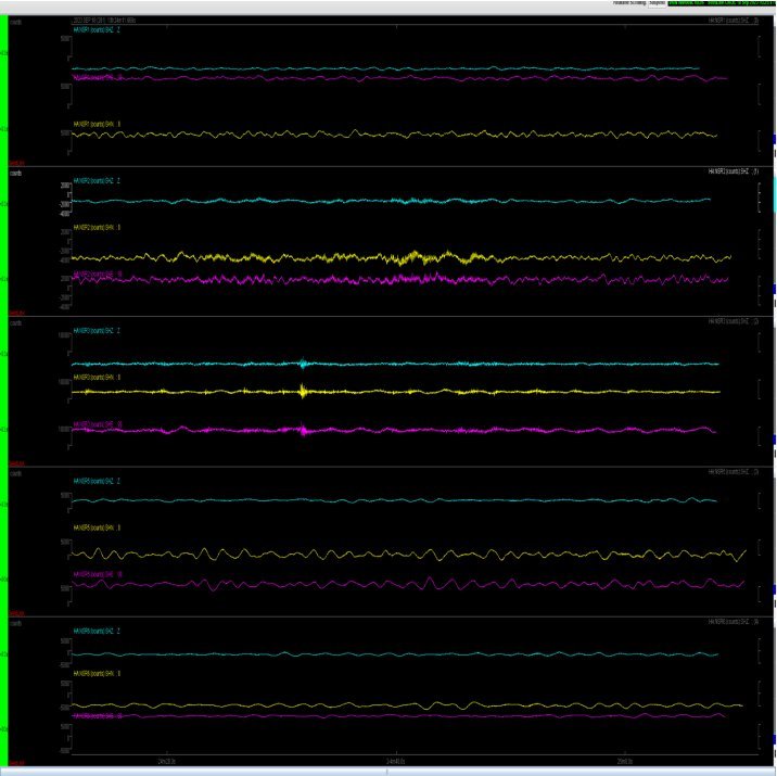
In September 2023 GEObit instruments deployed several seismic stations for the Nisyros Volcano monitoring. The stations transmitting in real time over the 2G/4G GSM network. All stations are solar powered. The stations are using wide-band borehole seismometer and compact 24bit digitizer.
1. Introduction
Nisyros is the youngest of the large volcanic centers in Greece and is one of the active volcanoes in Greece. The volcano is 160,000 years old, while the youngest, prehistoric rock formations are 15,000 years old and cover the entire island. The island is composed of volcanic rock formations, with swelled elevations that were formed by previous volcanic activities. Thus, a major part of the island’s soil is volcanic and fertile.
In 1956, schisms emitting smoke were noted in the ground next to the western and southern sides of Ramnos. In 1872, an eruption occurred that was accompanied by earthquakes, backfiring and red flames. Ash and other elements erupted and covered the ground of Ramnos.
During the eruption of 1872, a crater of about 6 to 7 meters was formed and ash and mud spewed out. The ground of the area of Lakki and Ramnos was transformed into a lake with hot salty water, the water that came me out of the crater. The most recent violent eruption was in 1888 which formed a cylindrical aqueduct of volcanic elements with a diameter of at least 25 meters. The largest crater of the volcano named Polivotis, has a diameter of 260m and 30m depth. Another 5 younger craters in the region, the largest of which is Stefanos with a diameter of 30m and a 30m depth.
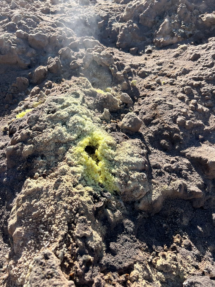
Picture 3: Inside the Polyvotis crater
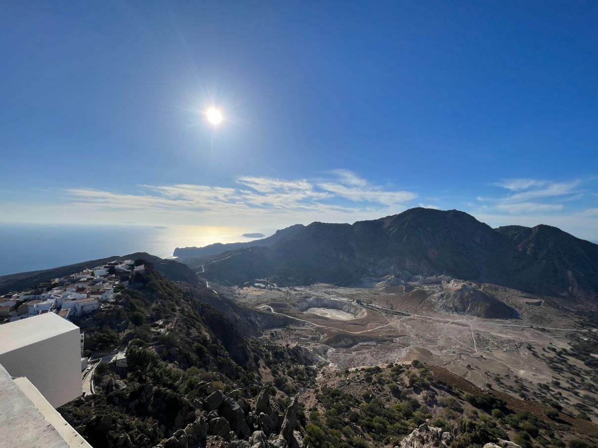
Picture 1:The Nisyros Volcano
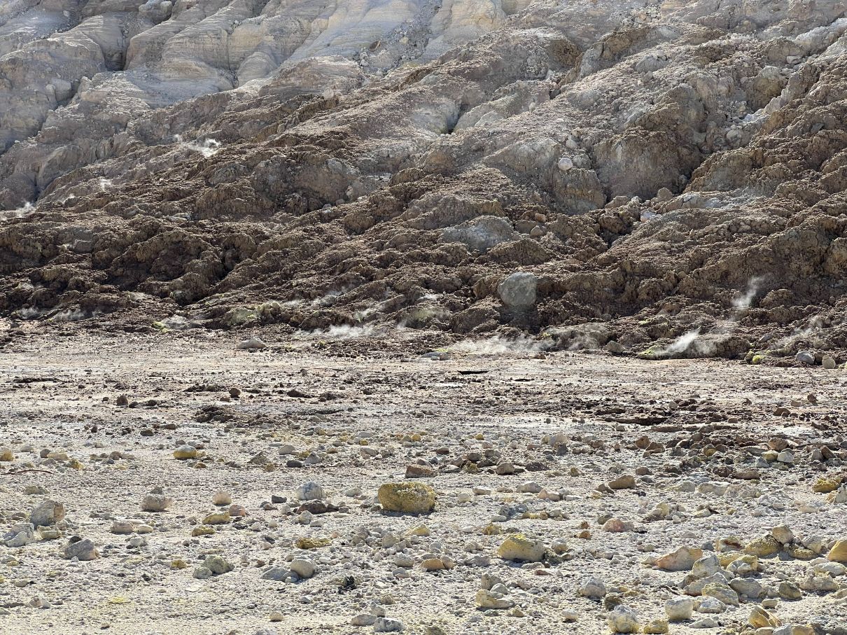
Picture 2: The Nisyros Volcano, inside the Polyvotis crater
2. Instruments
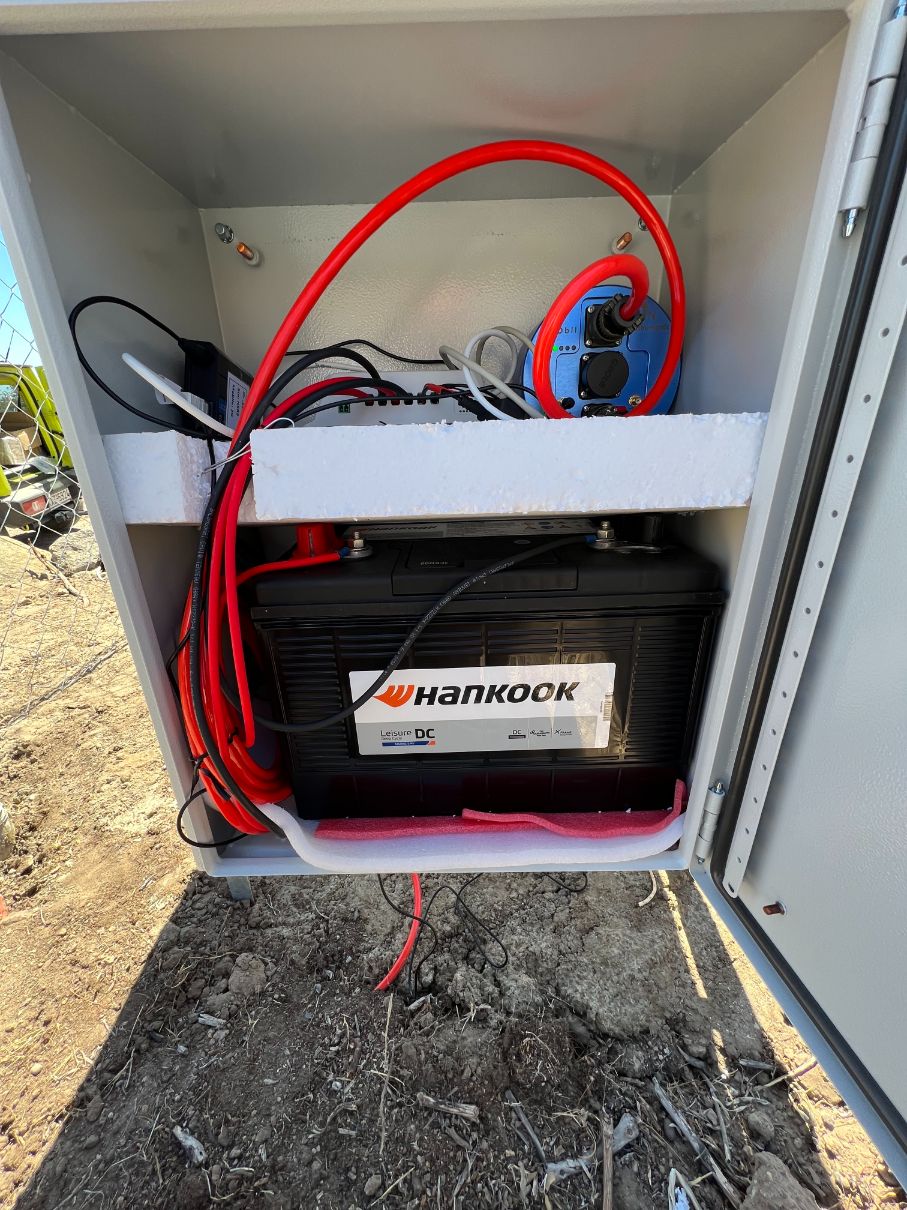
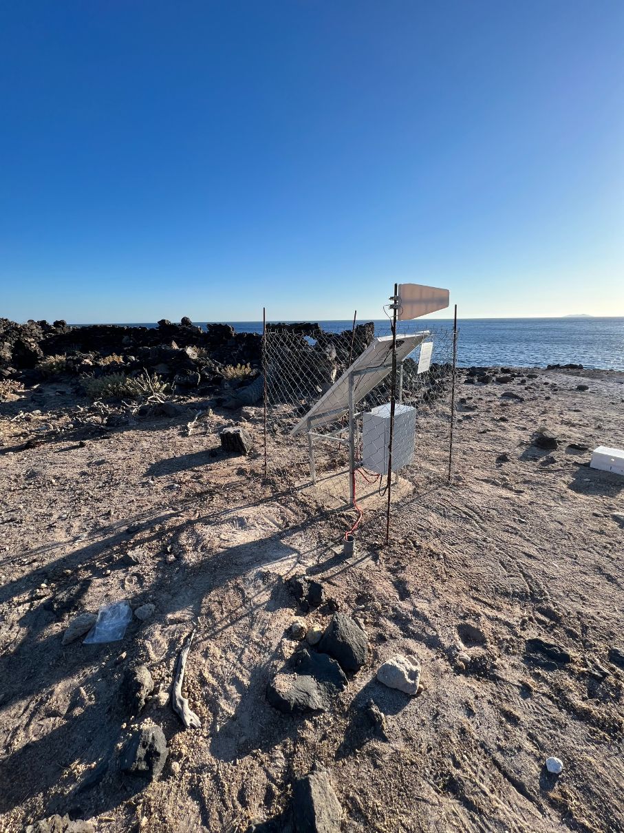
For the volcano monitoring, borehole sensors were used along with 24bit dataloggers. The sensors have wide-band response (10sec -100Hz ). All station are solar powered, by 150W solar generators, 30A battery charge controllers and 110Ah batteries. All equipment are housed in a metallic box. A metallic structure has been constructed for holding the solar panel and the metallic box.
The instruments were used are the GEObit C100 borehole seismometer and the GEOtinyBH10n datalogger.
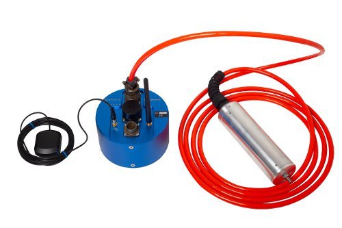
Picture 4: The C100 seismometer and the GEOtinyBH10 datalogger
3. Installation
The sensor was placed into a small posthole, being opened by handheld gasoline drilling machine. The station basement is a 70 X 90 X 30 cm concrete base where the four legs of the structure were placed.
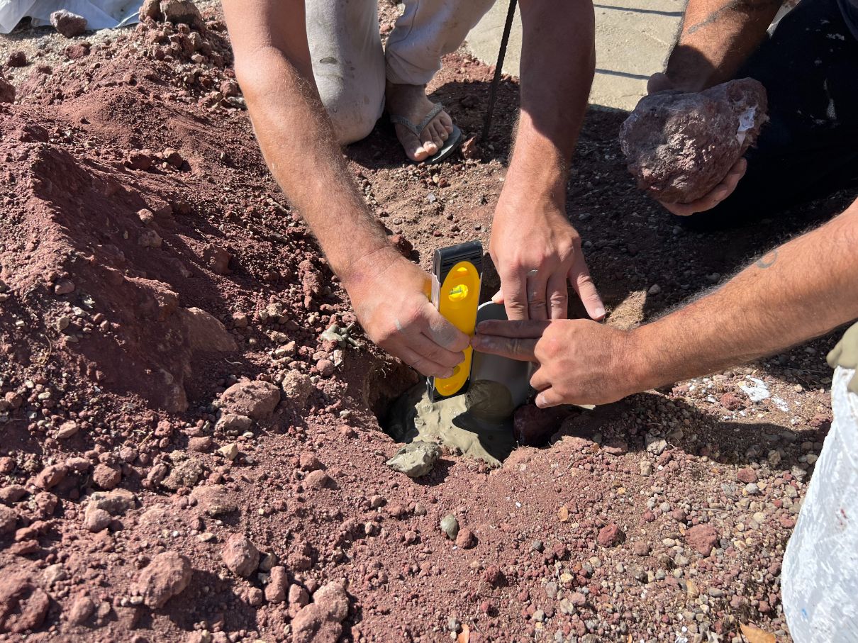
A plastic 75mm diameter casing was used for the sensor, which is grouted in the ground and carefully leveled.
Picture 5: Drilling the posthole
Picture 6: Leveling the seismometer casing
4. Seismic stations
The instruments were placed into the metallic bow, electrically connected and tested during the installation phase. A wire fence was placed around each station for protection of the wild animals.
Picture 7: Seismic station equipment
Picture 8: Seismic station


